Subscribe

Stepping into another world

Camas and Washougal have an abundance of open spaces and trails to bike, hike, run and walk, just minutes away

timestamp icon
category icon Life
The Washougal River Greenway Trail is a 1.1 mile paved walkway that includes a 370-foot steel trussed bridge, seen in this photo. It is the newest addition to the city of Camas trail system.

With the relatively mild winter, many local residents are beginning to venture outdoors for exercise. However, it can become rather dull when one’s feet are constantly pounding the pavement.

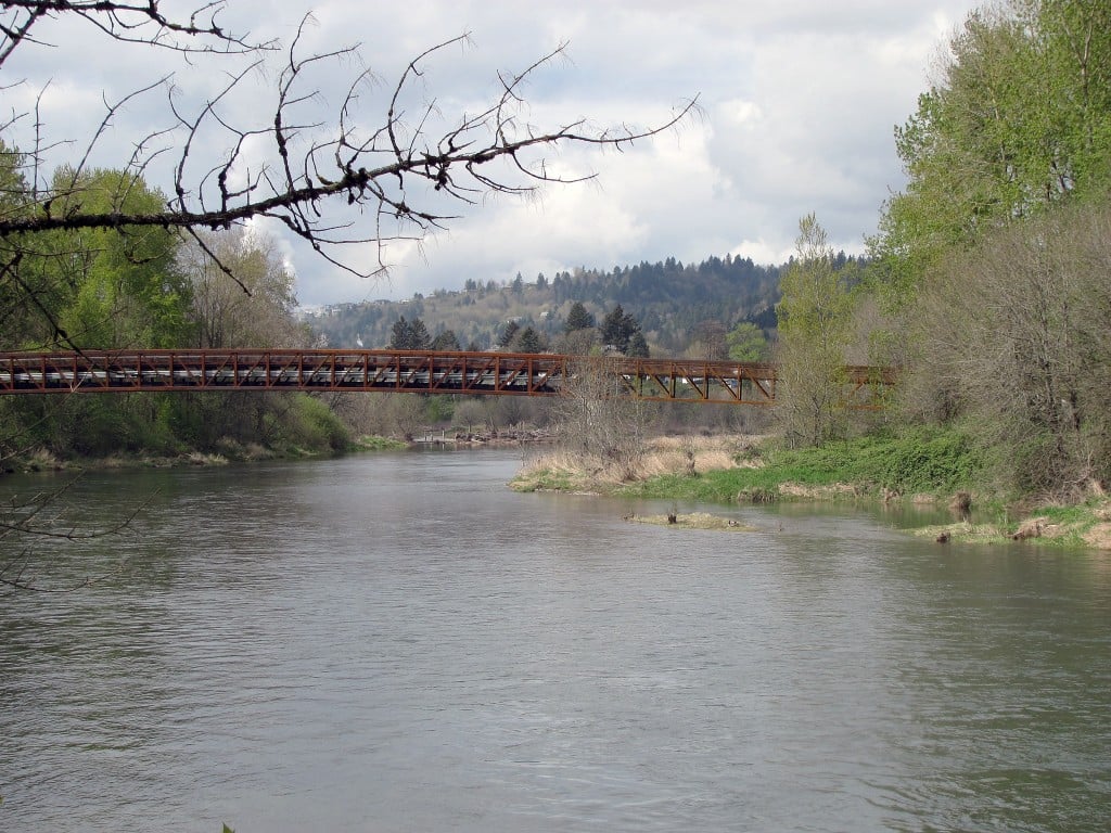
But with the abundance of trails and natural areas in Camas and Washougal, there is definitely variety for everyone, whether a person is training for the Boston Marathon or out for a walk with a toddler.

Brent Erickson, director of the Camas-Washougal Chamber of Commerce and current Camas Parks Board chairman, said keeping fit and healthy is the greatest benefit to having a variety of choices when it comes to recreational opportunities.

“Here, it’s easy for people wanting to be healthy to get to the local parks and trails,” he said. “You’ve got walkers, runners, bikers and hikers, so there’s a wide of variety of usage.”

Erickson, a walker, said his favorite place to do so is on the trail at Round Lake.

“I like it because it’s close to home,” he said. “Just the scenery and the ability to be able to step out the door and be in a natural setting within minutes is great.”

Erickson, who has been on the parks board for 22 years, credits the city, volunteers and developers who worked together 20 years ago to set aside property for many of the trails residents use today.

“It really goes back to 1989-1990, when Lacamas Shores was being developed,” he said. “Tom Shipler, the developer, offered to put in a public access trail on the south side.”

The city of Camas and Clark County worked together to expand Shipler’s original efforts, which resulted in the 3.5 mile each way Heritage Trail at Lacamas Lake.

He credits current City Administrator Lloyd Halverson and longtime resident Ken Powell as well.

“They had the foresight to preserve land and work with the developers to get to where we are now,” he said.

Suzanne Bachelder, Washougal parks, cemeteries and facilities manager, said she hopes the city can expand its current trail system and points out Camas as a model.

“They have done a really nice job,” she said. “It takes a long time to establish and develop a trail system.”

She said her favorite trails include the levee at Clark Park and Kerr Park, located behind the Washougal School District Administration Building on Sunset View Road.

“When it’s all developed, it’s going to be fantastic,” she said.

One trail system the city is eyeing would connect Campen Creek Park at 42nd Court and “R” Street to the nearby open spaces, creating a four mile loop.

“We really would like to connect all of the trails at some point,” she said. “I think having a recreational element in the city creates a space where you get a totally different experience away from your normal life. It adds an element you can’t get sitting in your house.”

Some of the larger trail systems in the Camas and Washougal areas include the following.

Camas

Baz Park: Located at Northeast third Avenue Loop. It hosts a trailhead leading to the city’s newest trail, the Washougal River Greenway. It is a 1.1 mile paved walkway that includes a 370-foot steel trussed bridge.

Lacamas Heritage Trail at Lacamas Lake: Located at Everett Street and Lake Road.

This provides a one-quarter mile paved trail and more than 3.6 miles of unpaved trails, for a total of more than seven miles of out-and-back trails.

Grass Valley Park trail: Located at Northwest 38th Avenue. It is approximately one mile, starting in Grass Valley Park and ending at Utah Street. It is a wide paved path.

Lacamas Park at Round Lake: Located at the intersection of Northeast Everett Street and Lake Road. There are numerous trails covering 312 acres. Parking and rest rooms are located at the trailhead. The trails are mostly unpaved. There are some steep hills, rocky trails and obstructed pathways. Lakes, creeks, waterfalls, wildflowers, native plants, and wildlife make this park a hiker’s favorite.

Lacamas Creek Trail: Located at Northeast Third Avenue near the intersection of Crown Road. It is almost one mile from the trailhead at Northeast Third Avenue to the McEnry Bridge over Lacamas Creek. It is unpaved and mostly flat, but with some slight hills. It connects to the Lacamas Park trail system.

Washougal River Greenway Trail: Located at Northeast Third Avenue and Shepherd Road. It is unpaved and flat 3 mile round trip with views of the Washougal River.

Washougal

Campen Creek Park: Located at 42nd Court and “R” Street. There is a primitive trail system leading to Campen Creek, with a plan to connect it to other open space in the future.

Kerr Park: This unfinished trail at Sunset View Road allows walkers and hikers a chance to get away from it all, momentarily. Plans are in the works to connect it with other trail systems in the area.

Capt. William Clark Park: Located at South Index and 32nd streets. This includes an approximately 3.5 mile unpaved trail on the levee, in each direction, with scenic views of the Columbia River and park. Various shorter trails are located below the levee.

Steigerwald Lake National Wildlife Refuge: Located at mile post 18 on the south side of Highway 14. Within the refuge is the 2.75 mile Gibbons Creek Wildlife Art Trail.