An ice storm warning is in effect for the greater Portland-Vancouver metro area, including Camas-Washougal, beginning at 1 p.m Sunday, Feb. 14 through 6 a.m. Monday, Feb. 15.
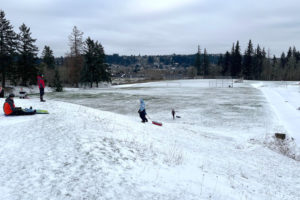
National Weather Service, Vancouver (NWS) warning forecasts additional snow accumulation of up to 2 inches with “significant icing” expected, especially in areas near the Columbia River Gorge. The area has already received 6 to 12 inches of snow since Thursday, Feb. 11.
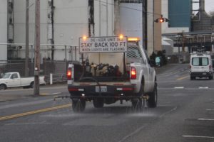
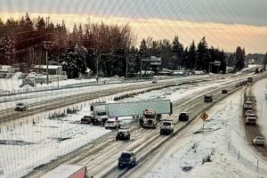
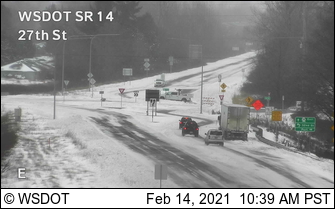
NWS states people in the metro area should plan for snow- and ice-covered roads, with travel “becoming difficult if not impossible in some locations.” Washington State Department of Transportation (WSDOT) has asked people to avoid unnecessary travel and stay off area roadways until conditions improve.
NWS warns widespread power outages and tree damage due to ice also are possible this afternoon through tomorrow morning. To report a power outage to Clark Public Utilities, call 360-992-8000. To view a map of current outages, visit clarkpublicutilities.com/outages-safety.
For the latest forecasts, visit alerts.weather.gov. For the latest road conditions, call 511 or visit wsdot.wa.gov.