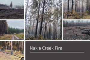
Fire officials say the Nakia Creek wildfire burning in the Larch Mountain area northeast of Camas-Washougal exploded on Sunday leaping from around 156 acres on Sunday morning to nearly 2,000 acres as of 8:30 p.m. Sunday evening.
Clark Regional Emergency Services Agency (CRESA) said Sunday night that evacuation warnings also increased, pushing 28,765 homes in the Camas-Washougal area into the Level 1 “Be Ready” zone, 5,017 homes into the Level 2 “Be Set” zone and at 2,903 homes into the most extreme, Level 3 “Go Now” zone.
CRESA reported on its Facebook site Sunday evening that it has been working with the Clark County Sheriff’s Office, Clark County Public Works and the Clark County Search and Rescue to close roads in the area and notify residents in the evacuation zones.
The emergency services agency also said it has reports of “additional fires near Chelatchie Prairie and Sunset Campground in Clark County” as well as “several” other fires in Skamania County.
“CRESA sent out multiple notification alerts today, including a wireless emergency alert,” CRESA reported, adding that residents in the impacted areas should be sure they are viewing the most current maps and getting updates to the most accurate notification areas — both of which can be found online at cresa911.org/2022/10/11/nakia-creek-fire-updates/.