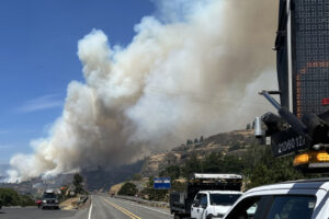
The National Weather Service says a “historic September east wind event” is expected to hit Clark County lowlands, including the Camas-Washougal area, and Oregon’s Willamette Valley this afternoon through tomorrow evening.
“Hot, dry and strong easterly winds are expected starting Monday afternoon, peaking overnight Monday into Tuesday morning, then slowly easing through Tuesday evening,” the NWS stated in its weather warning.
East winds are expected to hit 15 to 30 miles per hour with gusts of 40 to 55 mph. Stronger winds with gusts of up to 60 to 65 mph could impact areas east of Interstate 205 from 5 p.m. Monday, Sept. 7 through 1 p.m. Tuesday, Sept. 8.
“Tree limbs and even whole trees will be susceptible to being blown down,” the NWS stated. “Be prepared for power outages.”
Travel may be difficult. The NWS warned that high profile vehicles crossing the I-205 bridge between Oregon and Washington may be impacted by high wind speeds.