Subscribe

Preventative Measures: Camas, Washougal focus on road safety

Both cities seeking state grant money to revamp dangerous roadways, intersections

By ,
timestamp icon
category icon Latest News, News
Vehicles travel through the traffic roundabout on Sixth Avenue in Camas in May 2019. (Kelly Moyer/Post-Record files)

Cities across Washington state, including Camas and Washougal, are currently submitting traffic safety plans to the state’s CIty Safety program. 

A part of the federal Highway Safety Improvements Program that allows states and local governments to target their most critical traffic safety needs, the Washington State Department of Transportation (WSDOT)’s City Safety program provides biannual grant funding for road projects that seek to reduce fatal and serious injury crashes on city streets. The safety programs align with Washington state’s Target Zero vision, which seeks to eliminate traffic fatalities in the state by the year 2030.

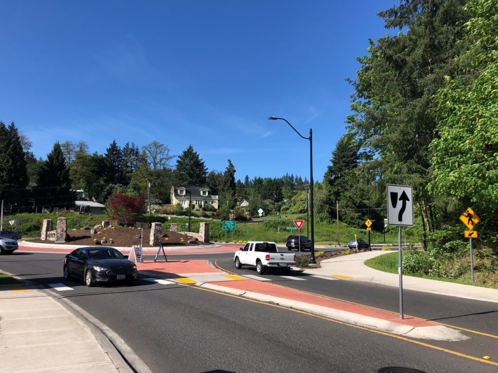
The program funded four Clark County projects during the 2018 and 2020 grant-funding cycles, including a $130,900 intersection improvement project at Fourth Plain Boulevard and Stapleton Road in Vancouver; a nearly $780,000 “road diet” project to convert Fourth Plain Boulevard from four lanes to three between “F” Street and Fort Vancouver Way; and two Battle Ground projects worth nearly $250,000 that improved traffic safety near a residential subdivision and two schools.

Camas and Washougal will each submit road safety plans to WSDOT this month that are designed to reduce traffic collisions and prevent future serious injury and fatality crashes on city roadways. 

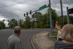
Following is a look at the results of each city’s traffic safety studies for 2022: 

‘Over 100 crashes a year’ on Camas roads

In the five-year stretch between the start of 2016 and the end of 2020, Camas experienced 516 traffic collisions, including seven serious-injury crashes and eight fatal collisions. 

“Historically, (the city of Camas has had) over 100 crashes per year,” Brian Chandler, the national director of transportation safety for DKS Associates, told Camas City Council members during their workshop on Feb. 22. 

The city of Camas, along with several other Clark County cities including Washougal, Battle Ground, La Center and Ridgefield, selected DKS Associates in 2021 to prepare traffic safety plans to submit for possible state grant funding through WSDOT’s City Safety Program. 

On Feb. 22, Chandler discussed his company’s research and proposed traffic improvements that could help the city of Camas experience fewer traffic crashes, serious traffic injuries and traffic-related fatalities. 

DKS ranked various intersections and traffic corridors in Camas according to risk factors, including the number, type and severity of traffic collisions that have occurred on these sections of Camas roadways, and took citizen feedback collected via an online Engage Camas survey that drew 72 respondents. 

The top areas of concern included the intersection at Northwest 16th Avenue and Northwest Brady Road; the intersection at Northeast Sixth Avenue and Northeast Adams Street; the corridor on Northeast Goodwin Road from Northwest Friberg-Strunk Street to Northeast 222nd Avenue; the corridor on Northwest Leadbetter Drive to Northeast Everett Street; and the corridor on Northeast Third Avenue from Northeast Garfield Street to Southeast Crown Drive – all of which had at least one fatal or serious injury crash between 2016 and 2020. 

NW Lake Road had ‘significant number of fatalities and serious collisions’

Chandler said DKS researchers found the corridor noted on Northwest Lake Road to be particularly dangerous. 

“(Northwest Lake Road) had a significant number of fatalities and serious collisions,” Chadler told city councilmembers on Feb. 22. “Of all the cities we’ve worked with, this is the only road with this many fatalities on a segment of roadway.” 

Northwest Lake Road was the site of three fatal accidents between March 2019 and August 2020, including a March 2019 crash in the 700 block of Northwest Lake Road that killed a 19-year-old motorcyclist from Vancouver; an August 2020 head-on collision near the intersection of Northwest Lake Road and Northwest Lacamas Lane that killed 43-year-old Jeffrey Baker of Vancouver; and a November 2020 head-on collision in the 600 block of  Northwest Lake Road that claimed the life of 62-year-old Francine Wohl, or Oregon.

The  DKS safety plan identifies the “narrow, two-lane, hilly, tree-lined” stretch of Northwest Lake Road that runs from Northwest Leadbetter Drive to Northeast Everett Street – noted as the site of two fatal head-on crashes and one fatal roadway departure collision – as the No. 1 priority for safety improvements. 

The city’s proposed safety treatments for this stretch of Lake Road include: 

  • Horizontal curve warning signs for each curve, including advance curve warning and advisory speed signage; 
  • “No Passing Zone” signs to supplement the double-yellow pavement markings;
  • Profiled pavement markings – raised bumps – that alert drivers they are outside their lanes; 
  • Improved shoulders to give drivers more space to maneuver; and 
  • And new lighting in “dark spots” along the roadway. 

Together, the $3.04 million safety treatments could reduce traffic collisions on this stretch of Northwest Lake Road by 25 percent, Chandler said, resulting in one fewer crash per year. 

“That might not sound like a lot, but if we reduced five out of the 19 (crashes that happened on this stretch of road in 2016-20) we have a good chance of saving a life over the next half a decade by putting in a project like this on Northwest Lake Road.” 

There was a significant drop in 2020, which was common nationally and in every state and city I’ve worked with. We didn’t have the traffic volumes (in 2020, due to the COVID-19 pandemic), but fatalities did not go down. Neither did serious injuries .. that is a concerning trend we’re trying to keep an eye on and sort out.” 

Intersection at Sixth and Adams among other traffic safety priorities

Aside from Northwest Lake Road, the DKS Associates consultants gave three other traffic safety projects top billing in their report:

  • The intersection at Northeast Sixth Avenue and Northeast Adams Street: Chandler described this confusing intersection as “a weird scenario on who stops, who doesn’t” and “kind of a sea of pavement” when speaking to the Camas City Council, and said citizens surveyed via Engage Camas also pointed to the possible dangers at this intersection near the city’s western entrance to the historic downtown Camas business district. Chandler said there were three crashes – one of them with serious injuries – between 2016 and 2020. The city is considering installing a roundabout at the intersection with pedestrian crossings and improved lighting. The approximately $3 million project would reduce crashes by 76 percent, Chandler said, and could result in one fewer crash every two years.
  • The third priority on the DKS list involves systemic stop-controlled intersections. “In Camas, intersections and intersection-related collisions are the most common types to occur for all crash severities,” DKS noted in its report, adding that 20 percent of fatal and serious injury collisions – as well as 37 percent of all traffic crashes – in Camas occurred at unsignalized intersections. The city will consider a combination of low-cost safety countermeasures including doubled-up signs, additional pavement marking, fluorescent yellow sign sheeting, advance warning signs, oversize signs, and between-lanes curbing on the side street to improve these unsignalized intersections. Examples of these intersections – where 45 collisions occurred in 2016-20 –  include the T-intersection at Northeast Goodwin Road and Northwest Alexandra Lane and the intersection at Northeast Third Avenue and Northeast Joy Street. These safety solutions, projected to cost around $130,000, would reduce crashes at such intersections by 38 percent and result in 3.39 fewer crashes per year, according to DKS. 
  • The fourth priority in the DKS report is a plan to help reduce roadway-departure crashes, which were “the most common type to result in fatalities and serious injuries in Camas, with 40 percent of fatal and serious injury collisions during the study period departing its lane.” More specifically, the report noted, four of the city’s 15 fatal or serious crashes in the time frame studied (2016-20) “involved a vehicle crossing the centerline and striking another vehicle in a head-on collision.” The city is proposing a horizontal curve inventory study and speed limit assessment; new sign packages that provide advanced warning and advisory speeds; and the installation of curve warning signs on about 40 horizontal curves on arterial roadways within the city limits. DKS noted that this $160,000 project could reduce injury crashes by 15 percent and result in two fewer crashes per year in Camas. Another project – this one estimated to cost $2.15 million – would install enhanced safety treatments, profiled pavement markings, nighttime delineation and/or fixed object treatments along traffic corridors at higher risk of these type of roadway-departure collisions, including Northeast Goodwin Road from Northwest Friberg-Strunk Street to Northeast 222nd Avenue and Third Avenue from Franklin to Crown Road and from Adams Street to Dallas Street. These combined improvements could reduce roadway-departure crashes by 43 percent and result in 11.57 fewer crashes every year. 

Camas City Council members agreed to submit the road safety application to the Washington Department of Transportation for possible state grants. Chandler said the state will review city applications throughout the spring and summer and should say which projects have been approved in the fall. Even if Camas does not secure the Target Zero grants, there are other grants available that could help the city improve its traffic safety, Chandler said, adding that the Target Zero road safety plans and grants come back every other year, so the city would have another shot in 2024. 

For more information about the Camas-specific DKS traffic safety report, visit https://tinyurl.com/yckn9m5h

Washougal: 2 fatalities, 9 serious-injury crashes

Eleven fatal and serious injury collisions occurred on city of Washougal roads in a five-year period between the beginning of 2016 and end of 2020, according to a recent report compiled by a Portland-based planning and transportation engineering firm.

Washougal leaders believe that number can be reduced over the course of the next five years and are taking steps to ensure that it does.  

The city is applying for funding from the Washington State Department of Transportation’s (WSDOT) City Safety program to address a series of road safety concerns identified in a report by DKS Associates.

Brian Chandler, DKS Associates’ director of transportation safety, delivered a summary of the report during the city’s virtual workshop session on Feb. 8. 

“Developing a safety plan helps us to identify the safety needs and what some potential solutions might be for traffic safety,” Chandler said. 

The report analyzes crash data from within the city in order to identify trends, contributing factors, associated risk factors and deficiencies present in the city’s road network.

“There’s a massive amount of data, and I appreciate the thoroughness of this report,” council member Molly Coston said. “Hopefully it will help us have more opportunities for grants and get more funding for our streets, sidewalks, pedestrians and bicyclists.”

Two people were killed and nine people were seriously injured in traffic crashes on Washougal city streets during the 2016-20 period studied, Chandler said.

“Looking at the fatal and serious injury collisions in Washougal, we’ve identified some of the common features — roadway departures, which is a vehicle either running off the road or departing its lane (and engaging in) a head-on collision; crashes happening at intersections; crashes on wet road surfaces; crashes that involve pedestrians or bicyclists; and behavioral items such as inattention or distraction and speeding,” Chandler said.

The report identifies five particularly high-risk traffic corridors and intersections that the city should address and recommends treatments for each. 

The list is topped by 32nd Street from Addy Street to Stiles Road.

“This was the highest priority on our list,” Chandler said. “We saw runoff crashes and head-on crashes, especially in the north section. At this particular location, I know there was more than one crash (that led to) serious injury or a fatality during the study period.”

The report states that the city should add profiled pavement marking, increase the size of the shoulders, and add lighting and guardrails to certain sections of the corridor. 

“When you look at 32nd, you see poor lighting, areas where cars run off the road regularly, high speeds coming down the hill, and ice up above,” said Washougal city engineer Rob Charles. “With that combination, it looked to me that we could fix a lot of issues there and reduce high-risk accidents.”

The report also states that the city should address a portion of 39th Street, between “J” Street and Evergreen Way. 

“This segment of 39th Street, south of Washougal High School and Gause Elementary School, lacks sidewalks to support pedestrian activity, including students and their families navigating the roadway before and after school,” the report states.

“The 39th Street corridor is near a school, and there’s a lack of sidewalks,” Chandler said. “We know that students are walking along the road or even on the road to and from school in the morning and afternoon.”

The report states that the city should add approximately 0.5 miles of sidewalk in‐fill from Evergreen Street to “J” Street on one or both sides of the road to provide additional support for pedestrians.

“I can actually see 39th Street by the high school from where I’m at, so I see kids every day walking up and down,” Ramos said. “Sometimes speed is a factor, and you get a little worried and when you’re walking an animal and you’re up on someone’s lawn because they come up so fast the hill (with limited) visibility, so sidewalks would be great there.”

The report also identified 27th Street from SR-14 to the Index Street Terminus; “E” Street from S.E. Lechner Street to 22nd Street; and N. Washougal River Road from N. 18th Street at “E” Street as high-risk areas, and recommended the addition of treatments to address the city’s systemic stop-controlled intersections and roadway departures. 

“I think all of the intersections that (DKS) identified were the ones that we were probably thinking about,” Ramos said.