Camas-Washougal logo tag

Rugged and revealing: Much to see on hike to still-closed Mount St. Helens’ Johnston Ridge

The facility remains closed, but hikers can explore Boundary Trail

By
timestamp icon
category icon Environment, Life, Outdoors
MOUNT ST. HELENS NATIONAL VOLCANIC MONUMENT — We can’t let minor obstacles like destructive landslides and locked doors stop us from exploration and adventure, can we?

That’s how a friend and I felt about taking on the rugged and revealing Boundary Trail no. 1, which approaches the remote Johnston Ridge Observatory at Mount St. Helens from the west. Johnston Ridge is the closest visitor center to the volcano, which made history in May 1980 as it erupted, imploded and unleashed the largest debris slide ever witnessed by humans.

The hellish avalanche swept north and west. It killed dozens of people; wiped out roads, bridges and homes; and buried the entire landscape — rivers, lakes, forests and all — under hundreds of feet of mud and debris. Incredibly, what had been Washington’s fifth-highest summit dropped to 35th highest, as the mountain’s elevation shrank from 9,677 feet to 8,363 feet.

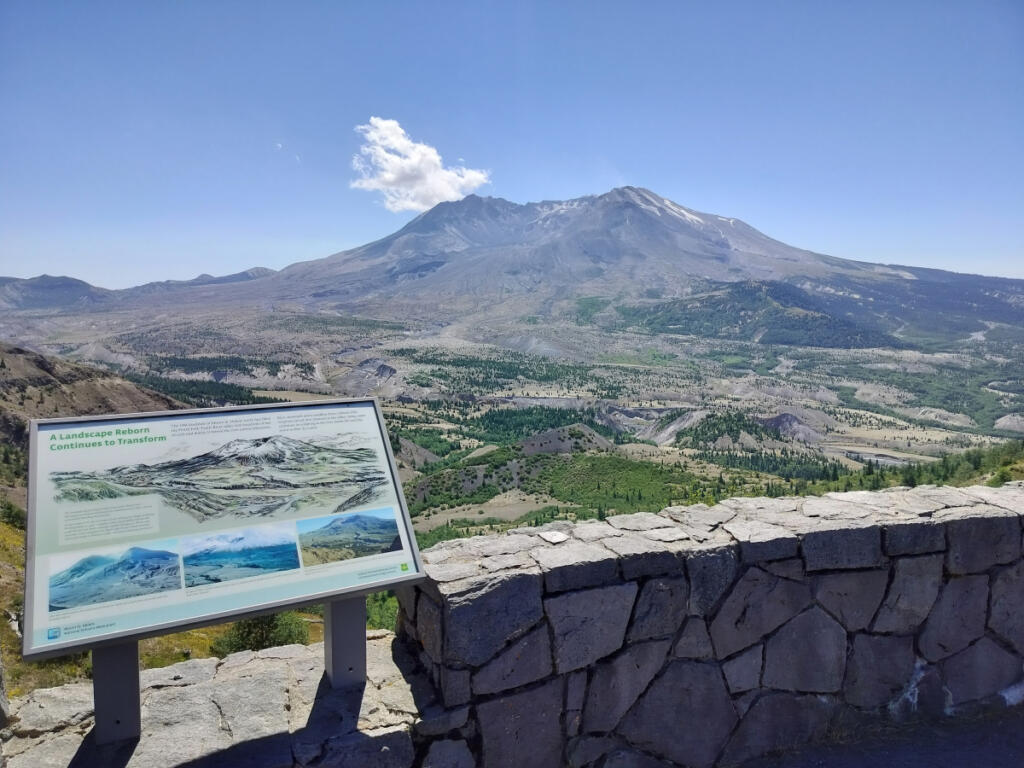
There’s no pointy mountain peak atop St. Helens anymore. It’s been replaced by a distinctive mile-wide crater and an always-changing lava dome that geologists, volcanologists and public safety officials like to keep their eyes on.

Meanwhile, the forbidding new wasteland that stretched for miles around Mount St. Helens turned out to be temporary, as irrepressible nature embarked on a grand-scale project of regeneration and transformation. That’s what my buddy George Fornes, his son Emmet and I enjoyed examining up close, during our trek up to the Johnston Ridge Observatory.

That may seem like a fool’s odyssey, since the observatory has been closed up and shut down since another landslide struck in May 2023. While not nearly as all-encompassing, that slide still unleashed thousands of tons of debris, destroying a bridge, burying state Highway 504 and cutting off power to Johnston Ridge. The highway remains closed, and signs posted in the vicinity warn that walking on it remains dangerous. Doing so can earn you a hefty fine and a six-month stay in jail.

Therefore, we gladly hiked the 5-mile Boundary Trail up to Johnston Ridge, which remains open. Here’s how it went and what we saw.

Summer colors

To get the nearly two-hour drive from Vancouver to the trailhead over with and avoid putting a dent in our hiking day, our little trio car-camped the night before at pleasant, low-key Kid Valley Campground in Toutle. (George and Emmet raised a tent. I slept on a comfy air mattress in the back of my car.) In the morning, we only had to drive another half-hour east from Kid Valley to the parking area for the Hummocks Trail to get a timely start.

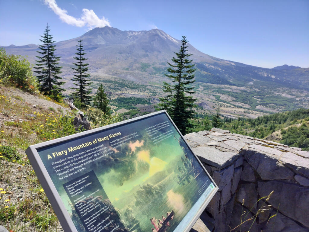
The Hummocks Trail is an easy, fascinating 2.5-mile loop — a tour of the distinctively rolling knolls that crowd the landscape here — that’s perfect for less-ambitious hikers, families and kids. No shame if you get this far and opt to stick with the loop instead of the big climb to Johnston Ridge. The loop is furnished with information kiosks that convey Mount St. Helens’ geologic backstory and eruption story, as well as how the uniquely roughened-up, deeply layered landscape has been recovering since then.

“When the mountain blew its top, it deposited huge chunks of debris on the valley floor below,” says the Washington Trails Association website. “Many of those chunks today look like perfectly manicured grassy mounds.”

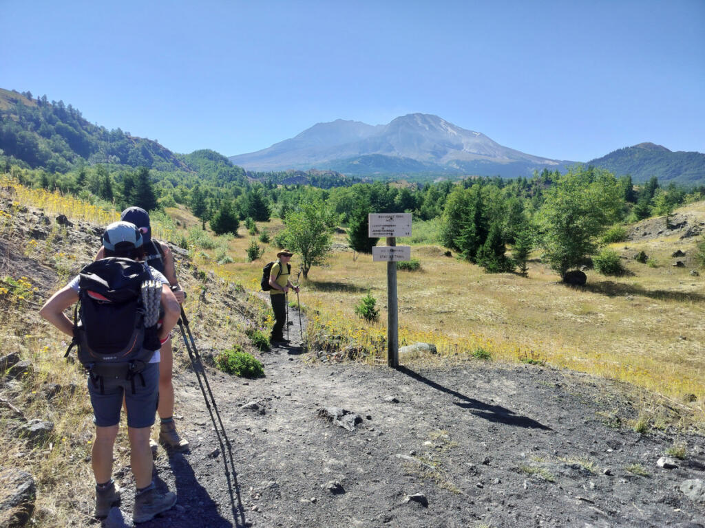
One half-mile of idyllic walking amongst hummocks and woodsy ponds takes you to the Hummocks Trail’s conjunction with Boundary Trail no. 1. A majestic view of the mountain right here will surely entice you — and maybe scare you. From here it’ll be about 4.5 miles and 2,000 feet of elevation gain to Johnston Ridge. (So the whole round-trip — from Hummocks parking lot, up to Johnston Ridge and back again — is just about 10 miles.)

Are you prepared and provisioned for this endurance test? While the prospect of a 10-mile round-trip hike didn’t daunt my optimistic self, the reality of 5 continuous miles of frequently steep climbing turned out to be a tougher challenge than I expected. So here’s your word to the wise: Hikers tend to rate this trail strenuous, and they’re not kidding.

We brought lots of water, snacks, apples and sandwiches. Experienced outdoorsman George also brought energy gels and electrolyte drinks. While heat wasn’t a problem, the sun was bright and strong all day, so we lathered up with sunscreen and wore wide-brimmed hats.

Sturdy, no-nonsense footwear and hiking poles were essential. So were frequent breaks to catch our breath.

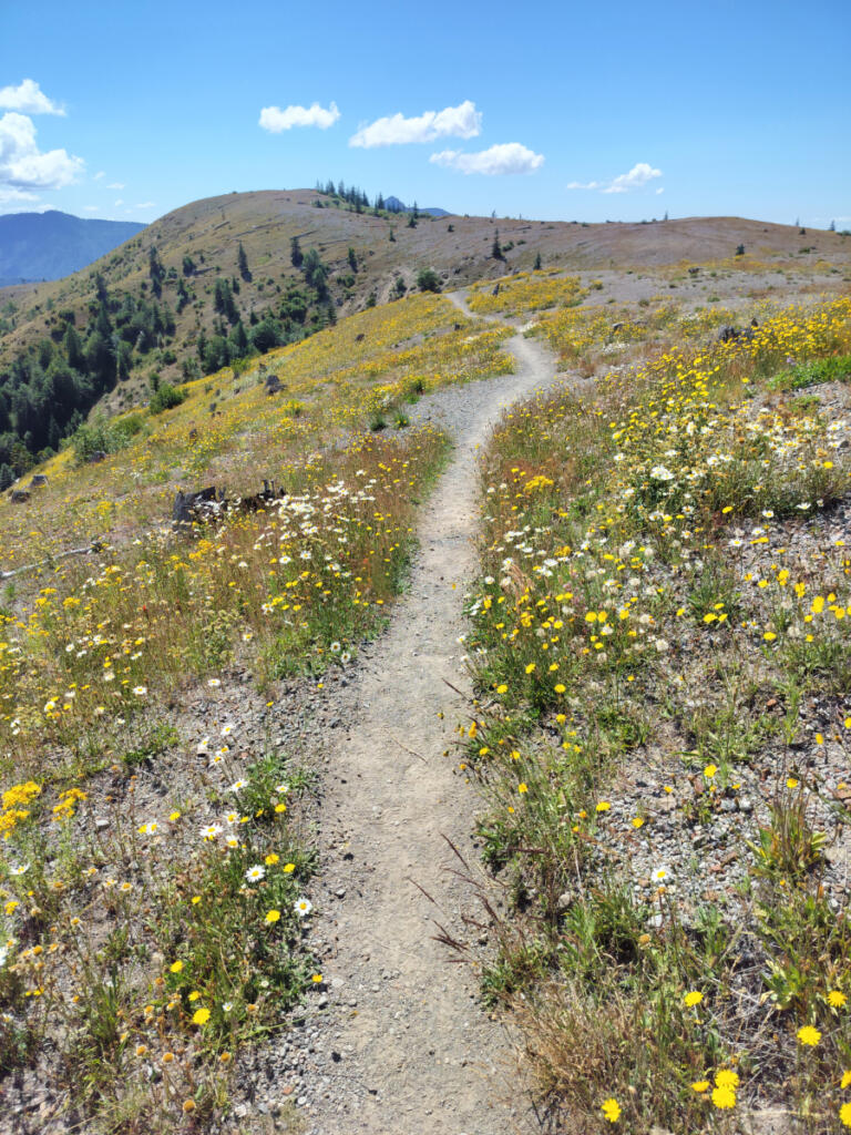
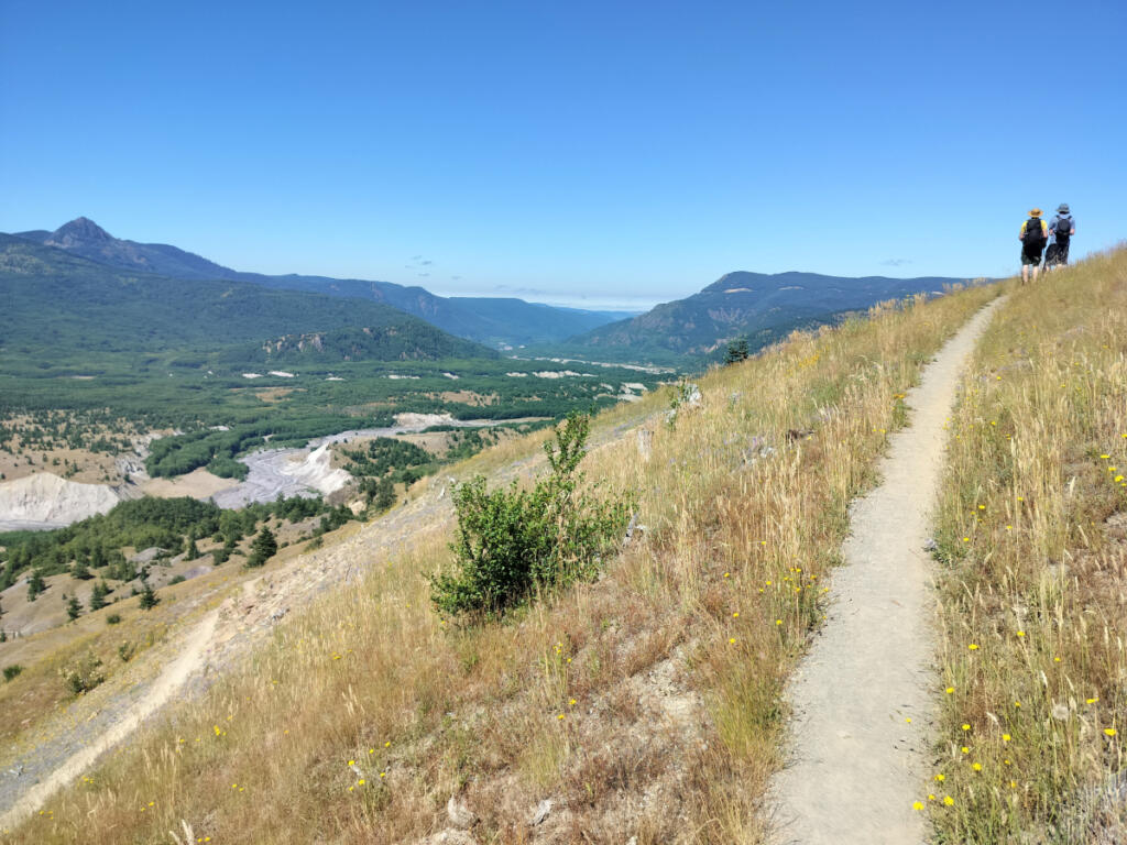
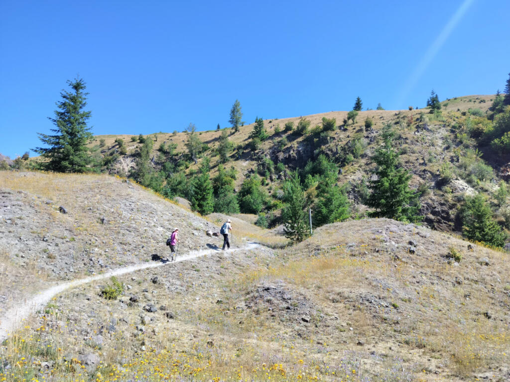
After our cozy Hummocks introduction to the landscape, Boundary Trail no. 1 led us across a terrain that felt bigger and broader, yet still furrowed and bumpy with volcano and landslide debris. Before long the meandering path tilted steeply upwards, providing our first taste of the ongoing challenge to come.

Although the landscape is populated by eagles, elk, black bears and other critters, we didn’t witness much wildlife while hiking through the sunshine. But I was still glad to have binoculars with me, as they let me zero in on the intricate, always-changing rivulets of the Toutle River Valley as well as surrounding ridgeline and the awesome volcano itself.

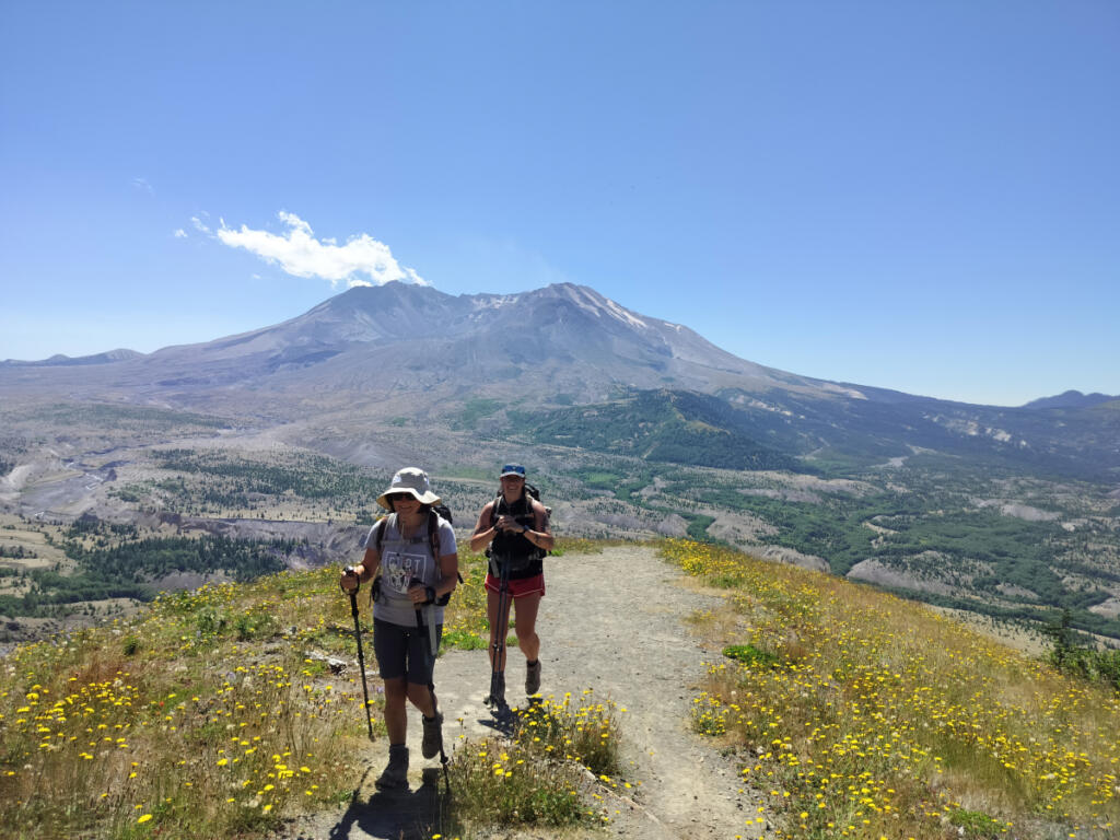
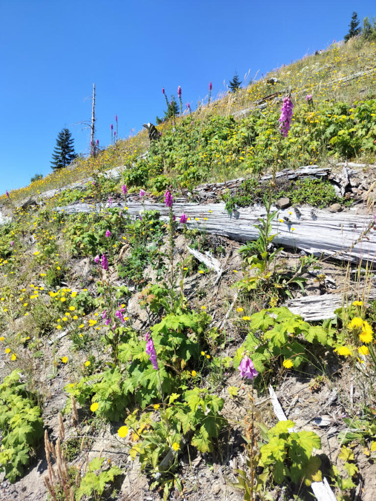
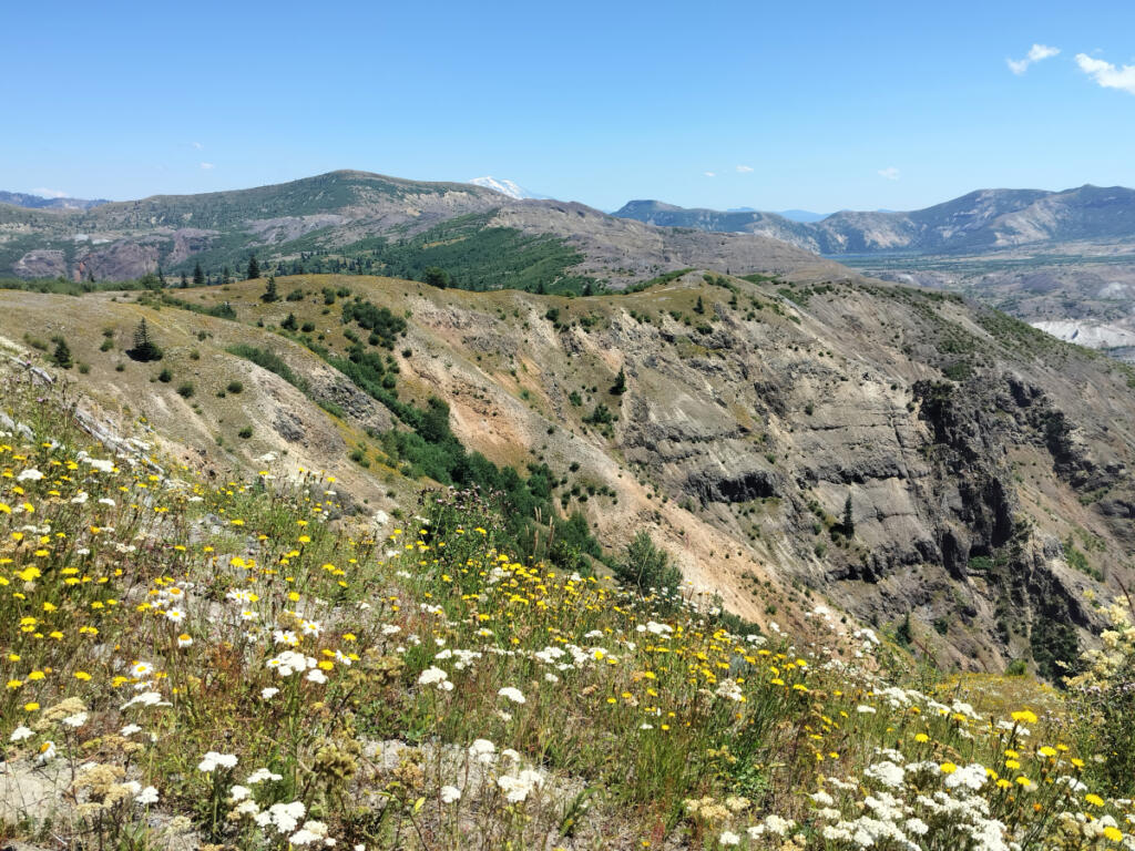
Closer to our eyes was an astonishing array of bright, colorful wildflowers, which stay in maximum bloom up here all the way from early June through early August (and maybe later), according to the website Northwest Wildflowers. Whenever my legs and lungs started complaining about the climb, I refocused my attention on all the multicolored eye candy surrounding me: red-and-orange paintbrush, purple foxglove, white-and-yellow daisies and thimbleberries, so many more.

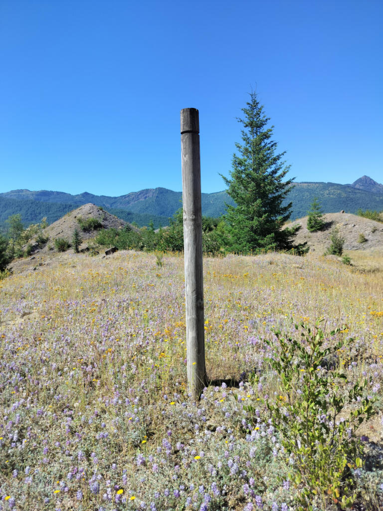
George — who works as a biologist for the Washington Department of Fish & Wildlife, but was off the clock and strictly recreating on this hike — pointed out that the dwarf lupine so ubiquitous around Mount St. Helens is doing important niche work. It’s a flower that draws nitrogen directly from the air and enriches the soil, preparing it for what comes next.

“You’re watching that ecological succession at play on the landscape,” George said while admiring the tiny purple blooms scattered amongst bleached stumps and downed trunks that are embedded all over this landscape — evidence of the apocalypse that still reverberates here.

We zigzagged our way up numerous switchbacks. A couple of brief trail segments were narrow and a little treacherous, forcing us to slow down and shuffle along. To avoid a tragic tumble into the headlines of this newspaper, watch your footing and take your time.

Eventually — at about hour three of our sweaty climb — we rounded a bluff and caught sight of civilization: a radar tower and the sharp brown outline of the Johnston Ridge building. We had about three-quarters of a mile to go.

Closed, but open

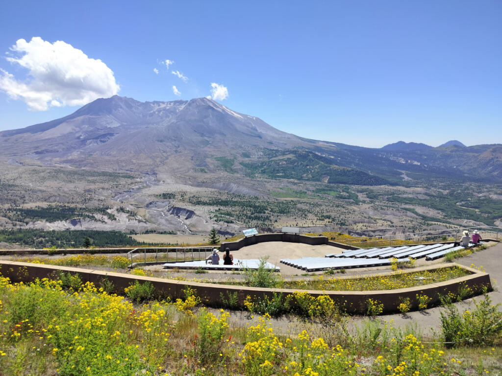
But first we visited the Loowit viewpoint. Here you can proudly check a map to see how far you’ve come, plop down on a bench and gaze in wonder at the volcano. Or just keep climbing, because you’ve almost reached your destination.

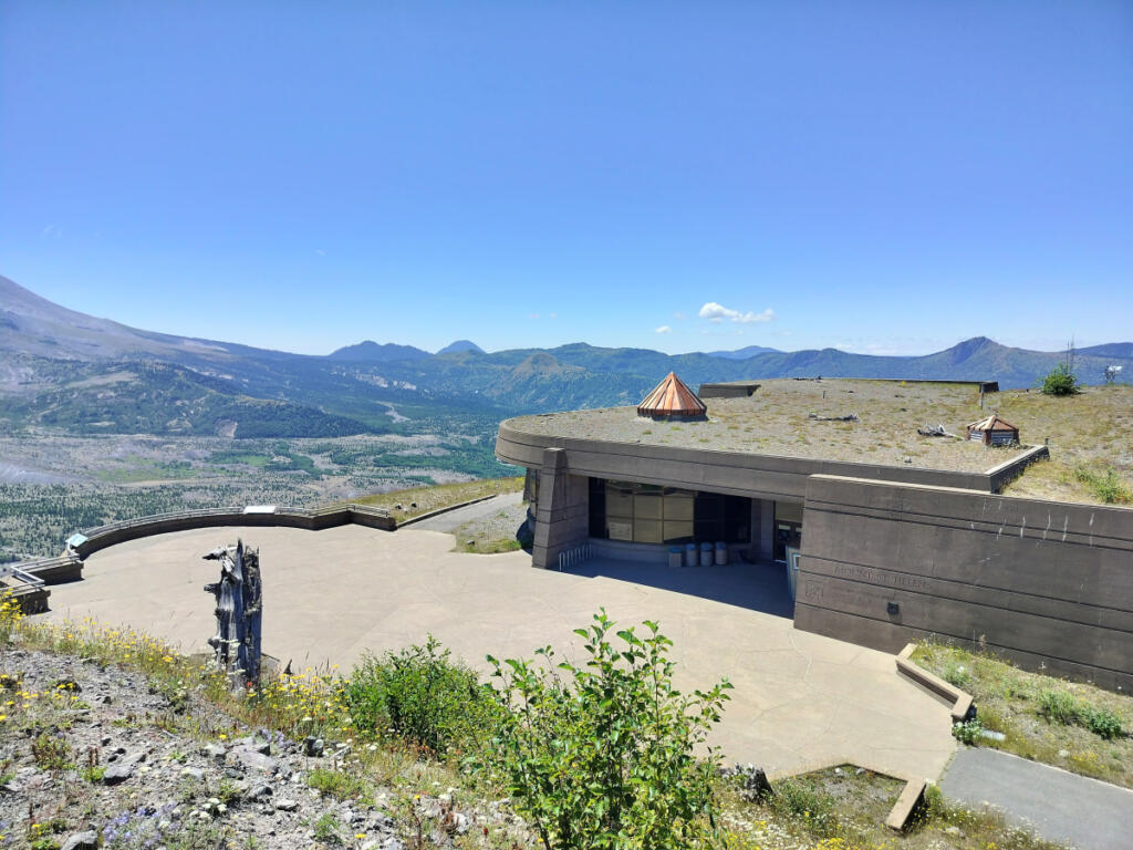
The trail takes a turn through some shrubbery before depositing you, surprisingly, alongside the parking lot at Johnston Ridge. George noted that the deserted, weedy asphalt here looks like a setting for some sort of post-apocalyptic zombie movie. But we didn’t see anybody staggering around except happily pooped fellow hikers.

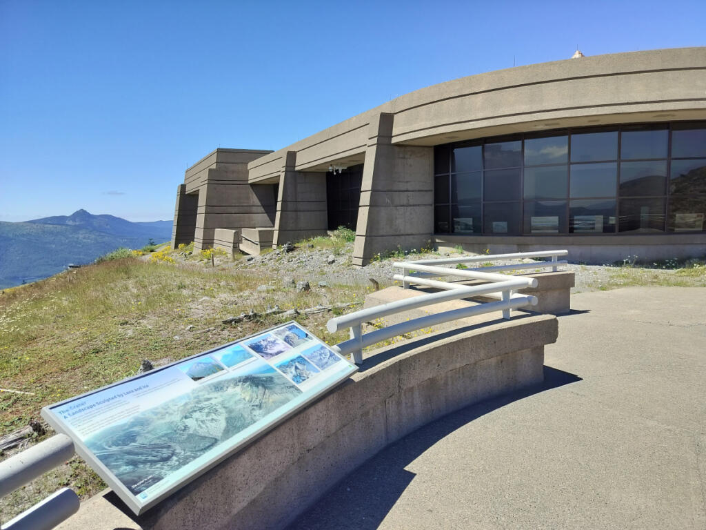
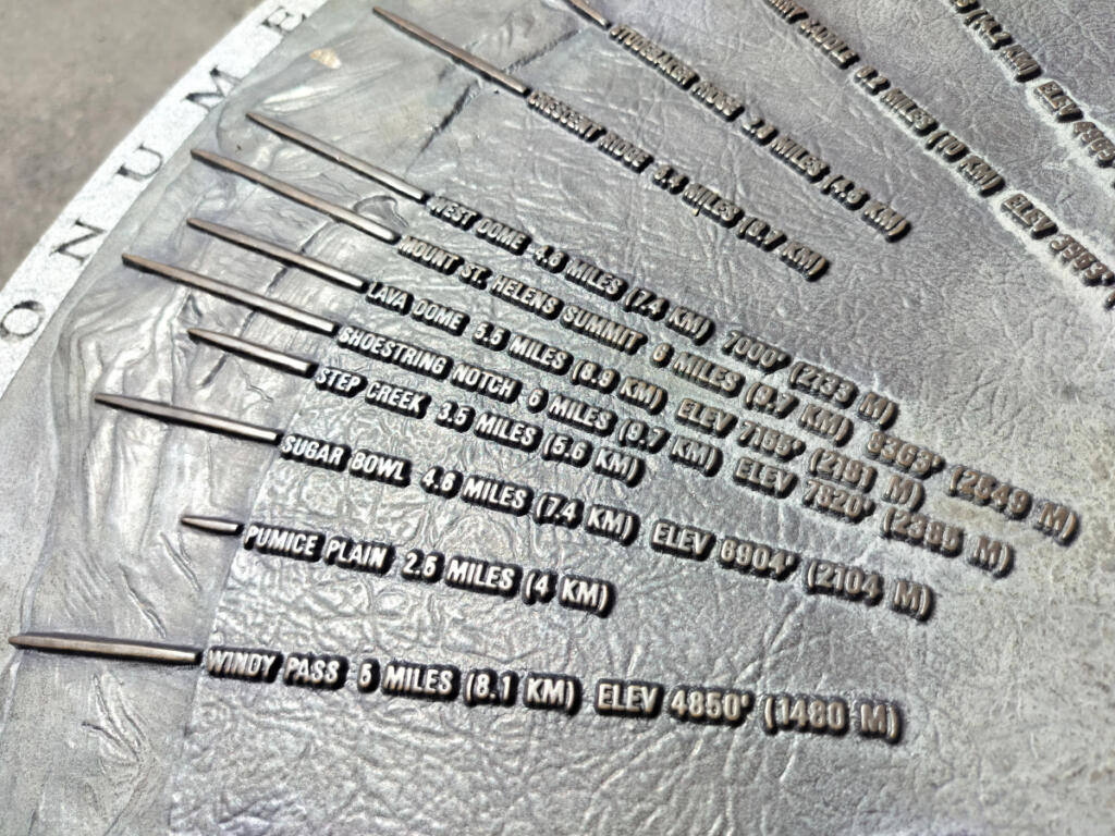
Visiting Johnston Ridge is an odd experience right now, because the familiar edifice seems completely unchanged — other than being locked up and empty. But exterior viewpoints, walkways and decks remain open. So does a short, farther walk to higher-up viewpoints and a compass-style metal pedestal that lists the distances to other notable natural sites, from nearby valleys to distant peaks. (From this spot, it indicates, it’s 6 miles to the mountain’s summit. Judging that distance with your own eyes is tricky, since the immense mountain simultaneously seems distant, yet also dominant and looming.)

We explored the Johnston Ridge grounds and chatted with fellow hikers before collapsing in the cool shade in front of the facility’s locked doors. A sign posted in the window, and a staffer who answered the phone when I called the Mount. St. Helens National Volcanic Monument district office a few days later, both confirmed that road rebuilding should be finished, and the Johnston Ridge Observatory reopened to the public, sometime in 2027.

No surprise: The hike back downhill from Johnston Ridge to the Hummocks trailhead and parking lot was just as scenic yet so, so much easier.

Get the latest headlines in your email every week!

This field is for validation purposes and should be left unchanged.